Domus
Civil/Environmental
- Mar 19, 2018
- 1
Hi guys
This is my first time in here and I hope you can help me. I am more on the side of structural design but sometimes under the direction of civil engineers I perform some setting out on construction sites. I am currently working on a site where we have two grids, red and green. Last week I set out a gully where its easting was given from red grid and its northing from green grid. The engineer in charge did some calculations to convert the easting from red to green grid. I would immensely appreciate if you could put me in the right direction how to solve this kind of problem should it arise again.
I have included all the coordinates, which were provided to me as follow.
Original setting out coordinates for gully
Easting 300.691 from red grid
Northing 898.350 from green grid
Transformed coordinates for green grid used for final setting out (only easting is transformed)
Easting 191.023
Northing 898.350
Rotation between grids is 14 degree.
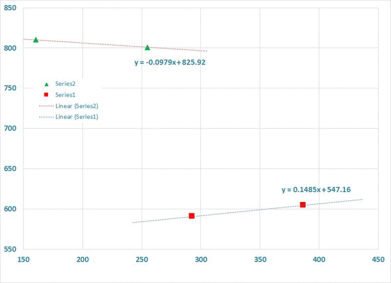
I’ve also included two known points on each grid.
Red Grid
P1- Easting 386.412
Northing 604.546
P2- Easting 292.631
Northing 590.618
Green grid
P1- Easting 255.035
Northing 800.961
P2-Easting 160.677
Northing 810.194
Thank you very much for your help.

