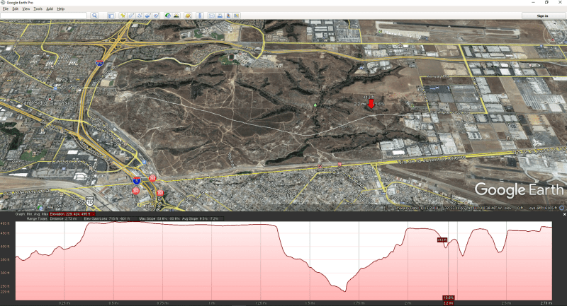
Anyone have a step-by-step method for obtaining elevation data from a Google Earth .kmz file? I'm in the process of reviewing a pipeline route (probably going to be about 10 miles long) through some back-country in Texas. Elevation changes are on the order of +/- 200 feet at the most extreme so it's definitely not flat country.
I have a copy of QGIS and Google Earth. Knowing just a little bit about Q, I think elevation data isn't really built into that software but it comes from somewhere else? So not sure how to get to a table of Cumulative Feet (of pipeline) versus Elevation which is the desired result.
Thanks for your help!
-m

