TomaszKruk
Civil/Environmental
- Oct 2, 2019
- 33
Hello,
I read all the other topics, but english is not my first language so I would like to be 100% sure.
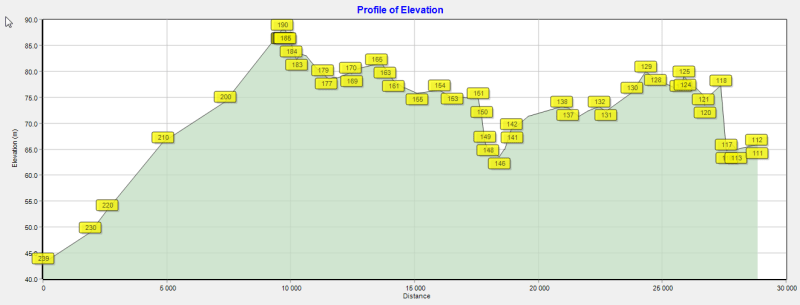
I'm working on an industrial water system where I am to use existing pumping station and pump the water to a new plant some 60 kms away. There are local high points on the way, but the hills are of lower elevation than the receiving point. So my pump has to provide sufficient pressure to pump over those hills. The classic siphon will not occur.
Do I still need to worry about possible vaporization? I read somewhere that the velocity difference on the upward and downward slope could cause flashing, and disturb the flow. Is this right? If so - how to calculate it?
If it's as obvious as I think it is (that no - it will not be a problem) then sorry for spamming. Internet is a great resource but sometimes the data is so fragmented it gets you scared without real reason.
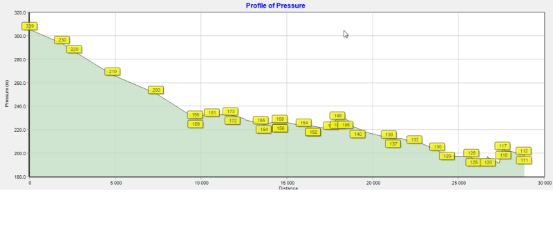
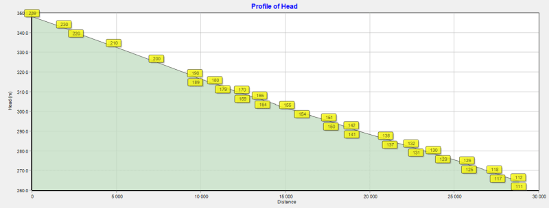
I've attached an epanet's profile of pressure to visualize what I'm talking about. Generally you can see the pressure falling, since the terrain elevation and head losses decrease it. The local minimums display points of high elevation I'm worried about.


