Eng-Tips is the largest engineering community on the Internet

Intelligent Work Forums for Engineering Professionals

  • Congratulations waross on being selected by the Tek-Tips community for having the most helpful posts in the forums last week. Way to Go!

Would I get in trouble legally if I take on a Surveying project if I have no experience in it?

Status
Not open for further replies.

AriStructural

Structural
May 11, 2016
5
0
0
US
I passed my FE exam and completed my B.S in Civil Engineering in 2014.

One of my clients have contacted me for his surveying projects. I've never done any surveying before beside college but I think I'm smart enough to figure it out.

Is there any law that prevents me from taking this project (I live in California)?

 
Replies continue below

Recommended for you

In most states, that depends. If you are performing a boundary or legal survey, then you must be a licensed PLS in every state that I am familiar with. However, if you are performing a topographical survey, route survey, mine survey, or survey for some other construction or development activity not including boundary issues, then in many states you are allowed to do so. However, if you don't have the requisite experience, and do not have the requisite professional liability insurance coverage (E&O policy), then you open yourself up to liability exposure which could cripple you financially for a long time. My advice to you is: don't try it.
Dave

Thaidavid
 
It would make more sense to subcontract the work to an actual surveyor rather than doing it yourself. You will have to rent the necessary equipment anyway.

The surveying business is quite competitive so one should not expect to make much money surveying.
 
Seriously? You've been in the engineering field for at least 2 years and you don't know your legal responsibilities and areas in which you can legally provide services? You need to read your state's engineering regulations and supplementary services regulations (surveying is one).
 
The fact that you're not even a PE brings a lot of questions to me. As Ron stated, you need to read the regulations regarding what work you can legally perform. Are you working with a PE, if not, you're could be in serious issues if you're providing any engineering services.
 
Thank you all for your time. I moved to the project management side of the industry and unfortunately I have been involved with only a handful of design projects. I was assisting the main engineer in his/her job.

This guy who approached me was just another confused builder. He had no clue about the licensing requirements and thought anyone who graduated as a civil engineer can stick a surveying rod, shoot a laser at it with his pal and write it down. All for a price of a beer of course.

I thanked him for the opportunity and said thanks, but no thanks.
 
Agreed. In Illinois besides a PLS, only a PE can do surveying in support of their design project. Never as a standalone service.
 
?? Do the geotechs out there bring in a PLS to survey borehole locations and elevations on a site investigation? Say you have a square lot - you put down 4 boreholes, get measurements of locations and use a level for "elevations" (real or site). We always had the engineer overseeing the drill rig take these measurements . . .
 
BigH - I'm not a PLS but I've done survey work on a few projects for design purposes, similar to what you described. This is legal where I work. However, I'm not legally qualified to perform a right of way or metes and bounds survey. The OP never described the type of survey he was asked to perform.
 
I have the geotechs/drillers set stakes near the borehole. then we send a surveyor out to get the location and elevation of the boring. If I dont do that, I am lucky if I can get locations within 100 feet from the drillers, even when they use their gps
 
Take a look a your state's Disciplinary Actions. I'd say in Arizona 25% of them have to do with surveys. They're for easements, boundaries, etc, but still, why take a chance? If you don't know what you're doing, you can get in trouble.
 
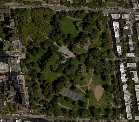
Way back in high school I took a surveying course - 6 hours per week for two terms. The culmination of our class work: Everyone had to draw a detailed topo map of a 35 acre park next to the school.

fgp_zuaxgb.png
 
cvg - when I did it or, at the time, we didn't have GPS . . . had to do tapes and that - sometimes by paces (I was pretty good at getting 60 ft and 90 ft correct by pacing (I umpired a lot of baseball in my youth). GPS should help a lot these days - but on smaller sites, I'd still use tape measurements from known structures, etc.
 
Best choice is to check the law in your state. As a PE, in my state I can legally perform surveying ancillary to the practice of engineering but must call in a licensed surveyor to do property surveying. I have a working relationship with licensed surveyors I know and trust and use them when the situation calls for it. And vice-versa.
Having an FE I doubt that you can legally do this job, but check the law. Don't get a fine or disciplinary action.
 
just remember, when you are young, poverty is a great defense!

As a field geologist, I've made maps of all sorts of stuff. Just like BigH, we'd pace, compass, tape, Alidade/plane table and sketch all sorts of stuff. Surveying for site plans? No way!

f-d

ípapß gordo ainÆt no madre flaca!
 
some thoughts....

there are a bunch of references to geotech work... i typically see geotech engineers caveat their boring locations by saying they can be 50 or maybe it was 100 ft off from where they show them. And this language is typically in the boilerplate section of the report.

i work for a civil site design firm and we typically send our surveyor out for field observation assignments. Our state requires continuous inspection of buried drinking water infrastructure. it is not uncommon for him to set a few points for the contractor from our cad files.

There is whole bunch of surveying that happens everyday by contractors but it usually called "layout" and if they mess it up, they have to fix it.
 
We hire a PLS to go out and survey as drilled locations and elevations. Maybe, 40% of our jobs. It's usually on transportation projects or jobs that involve slope stability.
 
Status
Not open for further replies.
Back
Top