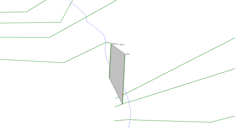
I'm working on a HEC-RAS model for a stream running around the perimeter of a property we are designing a subdivision on. We will be cutting/filling in floodplains to manage the floodplain elevation and my proposed HEC-RAS model seems to be running smooth.
In trying to accurately model the existing conditions I'm having some issues with 1. Skewed bridge (I've set the bridge cross sections with a 34* skew) and how to manage the cross sections that define the bridge.... 2. How to model the cross sections downstream of bridge, as the banks are higher than the adjacent floodplains.
First, I modeled the bridge and the cross sections without using any levees or ineffective flow areas. This produced results that seemed smooth, but the cross sections had lower than realistic water surface elevations, because the left overbank area is a farm field that is lower than the top of bank for 1000+ feet. So the model was using this vast area as very shallow flow area, but realistically there is no way for the flow to get in this area without overtopping the bank first.
Next, I tried adding a levee point to the downstream cross sections at the top of bank, to force the flow to reach the top of bank prior to using the overbank floodplain. After further research, it seemed like I should instead define ineffective flow areas starting at the top of bank elevation, thus allowing flow in the floodplain after the top of bank elevation has been reached.
But, with both levee and ineffective flow area approaches the output profile and sections have some issues:
1) Immediately upstream of bridge the WSE is a couple feet above the bridge deck, but the bridge cross sections and profile do not show the water flowing over the road/bridge.
2) A few sections downstream of the bridge cannot be solved so it is defaulting to the critical depth
3) A few portions of the reach downstream of the bridge are showing a level EGL/WSE which is not possible.
I believe my issues stem from the stark difference in the bridge bounding cross sections (2 & 3) and the XS immediately upstream and downstream of this. The bridge angle/skew is tough in figuring out how to cut those cross sections and where to define ineffective flow ares.

