Continue to Site

Eng-Tips is the largest engineering community on the Internet

Intelligent Work Forums for Engineering Professionals

  • Congratulations KootK on being selected by the Eng-Tips community for having the most helpful posts in the forums last week. Way to Go!

Suez Canal blocked by container ship 36

Status
Not open for further replies.
Replies continue below

Recommended for you

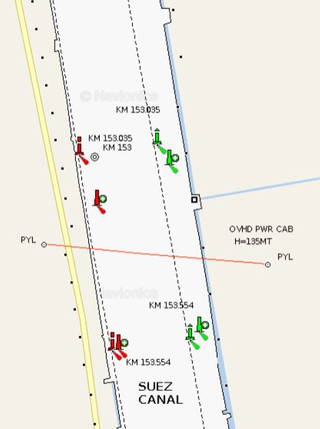
Well then Tud maybe you can explain this from navionics map?

I guess they are some electronic navigation beacons ?
They cant be seen on the satellite map so I guess they are on the bottom, maybe movable too?

navi_m0xhvt.jpg


BR A

“Logic will get you from A to Z; imagination will get you everywhere.“
Albert Einstein
 
Baraka1 (Force <of Allah, as an omnipresent force, like The Force in Star Wars>)
Ezzat Adel (Righteous Power <of Allah>)
are the largest in Mideast 16,000Hp, 160T pull (each)
Mosaed (Good Man) 5400 Hp, 70T

I think the Misars are channel marker bouys

the other 2tugs

Those are lighted buoys, shown on the pdf file
Red=Left port side of channel
Green= right starboard
 
Hokie,

Open the pdf file!

247m between the buoys at km 154
 
If there was a way to cut the ship up in place that would be faster than removing the material under the ship, the salvors would / are already be planning that as an option. Cleaning up the mess would probably need to be completed at least to the point where nothing would spread along the length of the canal, before traffic could resume, which could be very time consuming.

Pulling / skidding containers sideways requires first lifting the containers to unlatch the container dogs that tie containers in a vertical stack together.
Cargo Container Securing - Container Lashing Container Barge - Container Ship - Railroad IBC Container Twistlocks, Container Turnbuckles, Container Lashing Bars
It might be easier to pull an entire container stack over, but at 40 tons per container, you quickly start to create undesirable unbalanced loading on the ship.

 
Do the tracking simulations actually show the location and orientation of the cargo ship in the canal, based on 'transponder' data, or whatever it is?

Rather than think climate change and the corona virus as science, think of it as the wrath of God. Feel any better?

-Dik
 
Alistairs link is from vesselfinder.com and that uses data from the ship I think its quite exact.
I am still not shore how the heading or bearing is calculated though or how the sensor measuring it works.

The simulation probable uses the same data but a bit more but I am not shore how correct the map is adjusted against the data.
In the simulation it looks like the ship is much closer to the banks at all times.

BR A

“Logic will get you from A to Z; imagination will get you everywhere.“
Albert Einstein
 
dik
GPS receivers can calculate direction of motion if the ship is moving.
Most gps receivers include a heading sensor, often a magnetic compass (as is used in most cellphones).
AIS systems use gps position, and can use external heading sensors, so they can get heading data from a gyrocompass or the ships navigation platform.
This link explains AIS with some more detail.

Automatic Identification System (AIS): Integrating and Identifying Marine Communication Channels


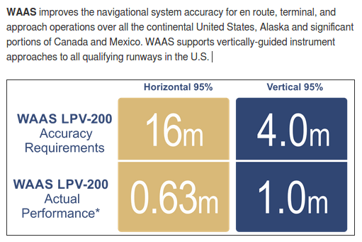
The US GPS system (Navstar) uses WGS84 ad the datum, as does Europe’s Galileo. I think the Russian and Chinese systems use a different datum. Basic accuracy with real time post processing using WAAS
Screenshot_from_2021-03-28_18-18-23_z3abb6.png
.
A system similar to WAAS should be viable in the middle east.
 
Some super tankers have a fore and an aft GPS, but I think they only broadcast one position on AIS channel.

18kW = 24,000 Hp
Getting bigger.


Thanks... are there transponders at the front and rear? so the orientation of the vessel can be determined?

Thanks 1503... you answered my question... with the Middle East, would there be continuous satellite viewing?

Rather than think climate change and the corona virus as science, think of it as the wrath of God. Feel any better?

-Dik
 
dik, the stern is free. If they cut the ship where it meets shallow water they can tow the stern away to open the canal and salvage the bow at leisure.

Experience has proven that you can cut a containerships in half and the stern will remain upright and stable.
Screenshot_20210328-151629_bjizgw.png


Shaped charges have been used successfully to split ships in the past.

Red, I am not a navigator so I can't get specific. Any navigation beacon should not be movable. They would also not be on the bottom as that would make them invisible and difficult to transmit radio frequency from. The beacon may be something as small as a VHF antenna for radio direction finding so it wouldn't be visible from satellite. They could also be GPS antennas for differential GPS.
 
I guess that will be the next subject of discussion... determining what to do... or they may have already decided a few days back...

Rather than think climate change and the corona virus as science, think of it as the wrath of God. Feel any better?

-Dik
 
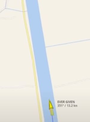
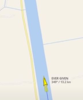
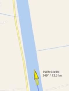
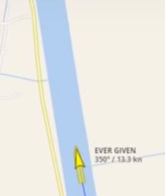
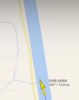
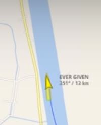
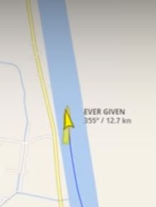
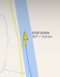
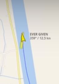
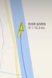
My problem is that the small yellow arrow points in one direction the actual ship in another. and the bearing or true headinf´g as it says in the ASI where dose it come from rudder or ship direction ?
rut1_ibbdxc.jpg
1rut_rcnqoe.jpg
2rut_phgeuw.jpg
13rut_kvio5y.jpg
14rut_zthguf.jpg
5rut_q7aqbj.jpg
51rut_dns8dg.jpg
6rut_vbzjuv.jpg
61rut_qamtpl.jpg
62rut_x7c4zo.jpg


BR A

“Logic will get you from A to Z; imagination will get you everywhere.“
Albert Einstein
 
I can explain this. A ship has both a heading and a course over ground. A heading is the direction it's pointed and course over ground is the direction it's moving. For the AIS, the course over ground is sourced from the GPS. Heading for a ship this size would come come from the gyro compass though smaller vessels may use a satellite compass or magnetic flux sensor. AIS will show both to help visualize the drift of the vessel. The pointy arrow is COG and the longer ship shaped one is heading.
 
Tug in normal circumstances they would be on the surface, but the you should se them om the photos [ponder]
Not movable I am not shore about that it's a canal in the middle of an desert with sandstorm they can fill up with sand and if there isn't time to dredge it out they might need to move or adjust the buoys from time to time [ponder]

Best Regards A

“Logic will get you from A to Z; imagination will get you everywhere.“
Albert Einstein
 
Buoys are usually on mushroom anchors. They can be pulled up and replaced but the location of the buoy needs to be precise so they don't typically get moved around.
 
To answer the question about the location of the GPS antenna, it can be anywhere on the ship but it's position relative to centerlines is keyed in during commissioning so the AIS position shows the true center of the ship. The second GPS antenna on super large ships is used by the pilots only as a reference point during turns.
 
What's weird is that in the movie in Alistair's link, the degree changes back and forth quite a bit after the boat runs aground and stands still?

Best Regards A

“Logic will get you from A to Z; imagination will get you everywhere.“
Albert Einstein
 
Dik, no live feed sats, but 8yrs ago I found there was an AntiAircraft feature here 29.7033N, 32.3646E so I had to adjust my pipeline route.

 
Status
Not open for further replies.

Part and Inventory Search

Sponsor