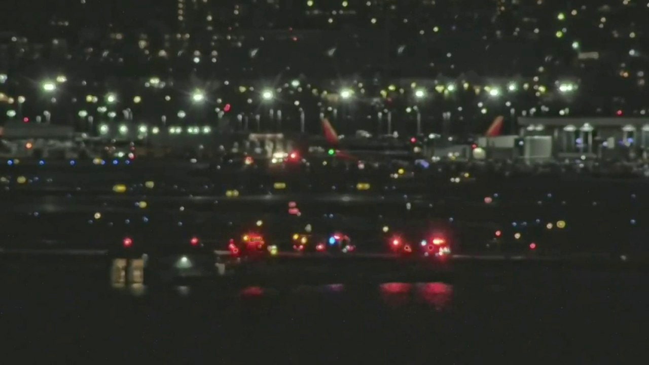
Continue to Site

Eng-Tips is the largest engineering community on the Internet

Intelligent Work Forums for Engineering Professionals

  • Congratulations pierreick on being selected by the Eng-Tips community for having the most helpful posts in the forums last week. Way to Go!

AA jet and Military helicopter collide over Potomac 7

Since runway 33 is lightly used, there would be minimal problems if helicopters ALWAYS had to stop a fly-through when a plane was due through that area.

They do, the helicopter was supposed to hold and wait for the plane to pass. It waited for the wrong plane. The error was allowing the helicopter to control their location and deciding when to pass through via visual separation. If there were well defined holding points and the ATC had to co-ordinate the planes and helicopters then a crash should be much less likely.

If you mean any time a plane will be landing, then the route can never be used because planes are always due to land or take off through that airspace almost any time the airport is operating.


It would seem to me that if landing is runway 1/15 and takeoffs are runway 19/15 then the helicopters maybe go around the other side of the airport and the planes taking off hold until they pass. That would mean flying over other buildings though which wouldn't be acceptable.
 
Isn't this where you use the non flying pilot to call out / monitor whatever it is you're not looking at but is important? Like velocity, heading, altitude, talking to the ATC etc?
 
They do, the helicopter was supposed to hold and wait for the plane to pass. It waited for the wrong plane. The error was allowing the helicopter to control their location and deciding when to pass through via visual separation. If there were well defined holding points and the ATC had to co-ordinate the planes and helicopters then a crash should be much less likely.

If you mean any time a plane will be landing, then the route can never be used because planes are always due to land or take off through that airspace almost any time the airport is operating.


It would seem to me that if landing is runway 1/15 and takeoffs are runway 19/15 then the helicopters maybe go around the other side of the airport and the planes taking off hold until they pass. That would mean flying over other buildings though which wouldn't be acceptable.
I don't know about the supposed to hold bit. They have two or three mandatory reporting points and one non mandatory one at the junction of route 1/4 which they actually called in, but there was no instruction or requirement to hold, just an approval to continue using visual flight rules and operating according to the helicopter routing which said max altitude 200ft. They clearly either got the wrong aircraft or couldn't see it because they ran into it.

Allowing helicopters to keep going using VFR at night is clearly something they (ATC and the military) had got very complacent about as there are many helicopter journeys apparently in that neighbourhood. The rather vague instruction from ATC was, IMHO, close to negligent and with a CA sounding should have imposed an instruction on the helicopter to slow and turn immediate left and / or instructed the CRJ to climb immediately and do a go around. It looks pretty clear that they deferred all the responsibility over to the military / helicopter pilots and 70 people are now dead because of it.
 
Spsalso, the 12th Aviation Battalion is priority transport for the likes of cabinet members, high ranking military officials, Vice President, and other VIPs needing transport to and from the Pentagon, White House, JBA, and where ever else they need go. I highly doubt those missions, training or transport, will let atc control where or how they fly. That's why they're so quick to request visual separation because it puts it all into their hands to not crash into something. There's a lot of V22 traffic there as well in the helicopter route for training and transport purposes.

LittleInch, their vision of the dials would be severely limited with the night vision. They'd have had no numericle readout, only a needle on the dial face. To read altitude they'd have needed to turn their head and look to the side to see past the NVG to quickly glance at the alt. It also depends on what kit if they had. Did they have hi and low settings? If so, resolution likely would have been in 100ft incriments. Had they not, resolution would have been 500ft incriments and would have. They most likely would have had 500ft incriments and the PIC would have been using perephrial vision to eyeball the needle below halfway to 500.
 
Isn't this where you use the non flying pilot to call out / monitor whatever it is you're not looking at but is important? Like velocity, heading, altitude, talking to the ATC etc?
Exactly what they should have been doing, but seems they were not.
 
I highly doubt those missions, training or transport, will let atc control where or how they fly.
The key downside to that is that only ATC has a very good idea of other aircraft in the vicinity, their altitude and heading and there's no point in killing the passengers by just being all macho about it....

They have let the FAA and by default ATC tell them where they can fly down quite tight designated routes and maximum altitude so its not a complete free for all.

Also the cockpit picture I found had numerical in 20 ft intervals as well as dials but I don't know what that specific helicopter had. I was hoping someone could find out....

Either way, for aircraft a single sweep is 1000 ft normally so from the CVR, the fact that they seemed to know that they were at either 300 or 400 ft was still way too high and really the difference between two o'clock and four o'clock. That should be pretty easy to see the difference.
 
Being night ops, an AAU-32/A style altimeter is the most likely they'd have. We wont know for sure until the NTSB releases images or part numbers.
 
Is it a mixture of a needle and also a number? Is the sweep of the needle one per thousand foot? Does the number only change in discrete lumps?

The way everyone seems to talkin hundreds of feet and not say Altitude 270ft or 220?

This is what I can find, but don't know if its the same as the one which crashed. If so it would seem to be quite clear the helicopter was a lot higher than 200 ft.
It appears you are correct that every sweep of needle on barometric would incrementally add 1000' to the digital readout, and there looks to be space in the digital readout area to indicate how many thousands of feet plus the less than whole thousand feet. In this case it appears helo is at 850' from digital readout.

Below the Barometric altimeter (notice 29.92 inches set point under gauge), is the Radio Altimeter. Radio Altimeter shows under 100' in 10' increments, and above 100' in 100' increments. It also has a High and Low set points noted under the guage, which in this case are set to 50 LO and 200 HI.

The video link below shows the older style discrete analog altimeters. Notice the Radar Altimeter is above the barometric in the version. At about the 25 second point in video is where he talks about altimeters.

Going between significantly different avionics versions of UH-60's would appear to be a challenge and require qualification for each version?


Screenshot 2025-03-13 111241.png
 

Attachments

  • Attachment-1.jpeg
    Attachment-1.jpeg
    896.7 KB · Views: 6
Last edited:
I don't know about the supposed to hold bit.

What are they supposed to be doing when they're told to keep visual separation and pass behind? Do circles? Go up and down?
 
What are they supposed to be doing when they're told to keep visual separation and pass behind? Do circles? Go up and down?
Hover?
Has the military lost that ability?
 
I don't know that it's so simple to transition from forward flight to a hover so quickly. A lot of energy needs to be dissipated which is generally done by climbing.
 

Part and Inventory Search

Sponsor