
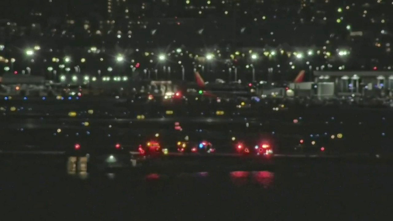
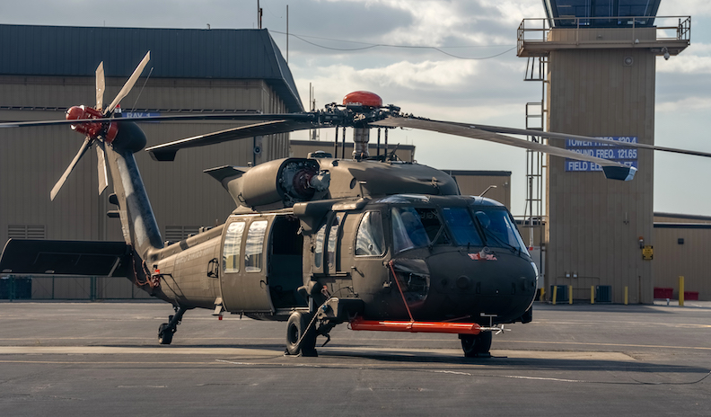
Reagan National Airport crash: Military Black Hawk helicopter collides midair with American Airlines jet
An Army Black Hawk helicopter collided midair with an American Airlines flight from Wichita, Kansas, at Reagan National Airport on Wednesday.
Follow along with the video below to see how to install our site as a web app on your home screen.
Note: This feature may not be available in some browsers.
Although I agree military should have to abide by civilian rules around active civilian airports, it's easier said than done. My old local airport routinely had military missions being undertaken that required civilian air laws taking a back seat, due to mattets of national security.I think this drives home the point, that military aircraft like the Helo VIP Taxi Service should be required to play by all Civilian Air Space Rules when flying so close to civilian airports.
This appears to be a situation where ATC Rules are over ruled by the Military in ATC controlled airspace. This should not be allowed within tightly controlled air space around civilian airports. This was goldtop helo, so it was purchased as VIP transport in Civilian Air Space, thus should have been optioned to operate safely and fully compliant with ATC rules and systems.
No idea what the difference is but everything I've seen says the helicopter was transmitting in S mode. It was also really shifting doing over 110 kts.I doubt it will be a S mode transponder.
Just a C, possibly encoded so subject to altimeter setting errors.
That makes much more sense.My understanding is that military aircraft typically uitilize radio altimeters.
From Wikipedia: A radar altimeter (RA), also called a radio altimeter (RALT), electronic altimeter, reflection altimeter, or low-range radio altimeter (LRRA), measures altitude above the terrainpresently beneath an aircraft or spacecraft by timing how long it takes a beam of radio wavesto travel to ground, reflect, and return to the craft. This type of altimeter provides the distance between the antenna and the ground directly below it, in contrast to a barometric altimeterwhich provides the distance above a defined vertical datum, usually mean sea level.
https://www.adsbexchange.com/faq/ said:MLAT is derived from multiple receivers receiving Mode S messages from the same aircraft. Mode S is somewhat of a precursor technology to ADS-B and includes the six hexadecimal digit “ICAO” code assigned to the aircraft, but does not include the lat/lon coordinates or other information. We calculate these coordinates for MLAT targets by timing when the signal arrives at the various participating receivers.
The first ATC question was like 21 seconds before, ...