Continue to Site

Eng-Tips is the largest engineering community on the Internet

Intelligent Work Forums for Engineering Professionals

  • Congratulations waross on being selected by the Eng-Tips community for having the most helpful posts in the forums last week. Way to Go!

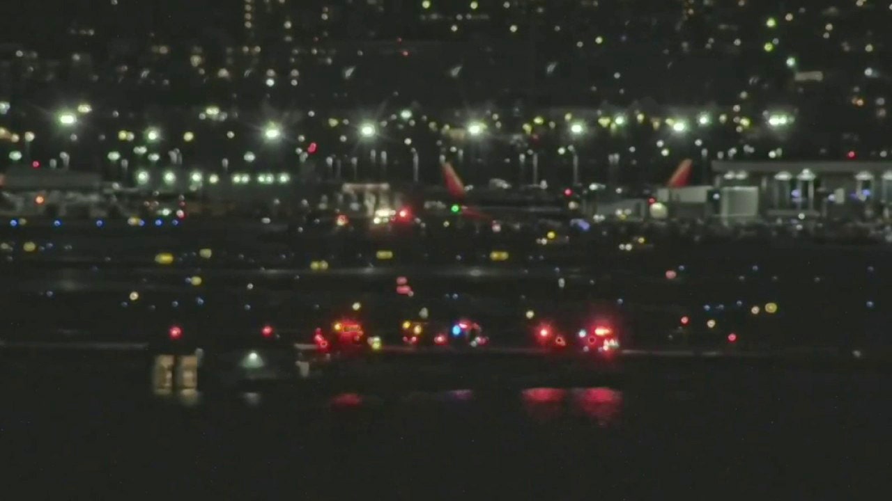
AA jet and Military helicopter collide over Potomac 4

I see news reports pertaining to the surveillance crash videos but not the radar sweep. These days news reports may only be an indication that news may be happening.
 
The CRJ data is ADS-B. The PAT25 data is MLAT. Two different ball games.

ADS-B data is realtime info transmitted from the associated aircraft which anyone can receive while MLAT data is derived from an array of ground based receivers located in random folks homes. The military has no say in the matter. Please stop your nonsense.

Correction: The helo data on the radar trace is dependent on the systems employed to furnish controllers with the information necessary for them to carry out their assignments.
 
Last edited:
NonSense?? LOL!

NTSB started all the questions with their stating they had conflicting data between helo and CRJ, and altitude conflicts. I was really surprised they released that bomb shell that early in investigation!

Gotta wonder did they do it to be transparent, because they have agenda to get issues they know about fixed, or did they want to start conspiracy theories???
 
Would you be surprised if it's the same conflicting data we're trying to make sense of?
 
In an environment where every light but one was showing movement relative to the helicopter.
Night vision goggles.
One apparently motionless light at their ten-oclock, or thereabouts.
Easily identified planes on other flight paths.
The helicopter pilot was maintaining safe and reasonable visual separation from the wrong aircraft and never noticed the aircraft on the collision course.
The AA crew would be under the same handicap .and could easily miss the apparently stationary helicopter lights.

Two objects on a straight collision course without changing speed appear stationary to each other.
Was it Arthur Clarke who first publicly explained that a space ship could detect objects on a collision course by monitoring the angle from the direction of travel to other objects?
Objects on a collision course will stay at the same angle and will appear to be stationery.
Slight changes in speed will make slight changes in the angle but much less than the apparent movement of all other light sources.
 
Is there likely to be a status issue between NTSB and the new FAA director?

Globally this military V civilian operations is fraught with arguments and fudges regarding safely.

There is a bit of me thinking why are the pilots putting up with it and making it work when it's obviously unsafe.
 
While it may be impossible to prove exactly what the helicopter pilot was watching, "Visual Separation from the Wrong Aircraft" passes the Occam's Razor test.
Alistair, If my theory is wildly improbable, I will accept your experience and judgment.
 
Thankfully I really don't have any experience of having to operate like this.

Realistically instrument flying is harder to learn but once you have it, it's easy and way safer.

Most commercial fixed wing pilots in Europe will have exposure to visual flying in the very beginning of training maybe 150 hours but after that nothing. It's a perishable skill.

Same with night flying for the rotary pilots. They get less instrument flying than fixed wing. Hence the training mission.

It may be different in the USA.
 
Last edited:
To be honest the way things are sounding to me is that the helicopter didn't have the correct altimeter setting.

Somewhere there is a hole in the swiss cheese that nobody stated the local one for flying in that area.

The rule of thumb that I use is that 10 hectopascals is just under 300ft error so if your told 1015 and you set 1025 you will be 300ft low and 1005 you will be 300ft high. That might be the wrong way round. High to low look out below with the qnh altimeter setting.

But I don't have a feeling for what is a common mistake for setting a mercury calibrated altimeter.

That's the human factor for the possibility of why it happened.

But the rest of the issues you none commercial pilots are actually pretty good at spotting and discussing sensibly without ego. I think understanding energy is a huge factor in this. The human performance side of things you don't see instinctively like the energy. But you are open minded and can reflect to yourself and others controlling other machinery.
 
This might sound stupid, but does it matter that the helicopter set off from an airfield with an a altitude of about 20masl, Reagan national is about 4 and the Potomac river about 0. So to them it could have been higher than what I assume the aircraft was reading based on a local QFE at the airport?? or does everyone work in QNH ( at sea level?)

Not much in it for sure.

Personal anecdote: I used to jump out of airplanes for fun. One thing you did on the ground was zero your altimeter as it would vary day be day depending on atmospheric pressure. One very rare jump I did when on holiday was from the airfield to a winery some distance away. We asked if it was higher than the airfield and was told no or only by 100 ft or so. We all climbed in, took off, got out, did our free fall then as we split at about 3000' I started to get "ground rush". Decided to open a bit earlier than normal, but at what was supposed to be 2,000ft, looked down and thought - that's not 2,000 ft. Sure enough when we landed my altimeter read just over 1000 ft..... Taught me a good lesson about the need to compensate for the difference in altitude from one location to another.
 
Military are the only ones using qfe in the UK.

And it's not stupid, it's the direction I am thinking.
 
Gotta wonder how critical it was to have a helo route that has to thread a needle (extremely high risk) to be sucessful. Then it depends solely on all human pilots to set a single sensor calibration properly for success. Afterwatds this route can be shut down immediately pending a exhaustive investigation and meshing/clashing of Three Letter Agencies to hash out a better solution. Obviously there are alternate routes available in the mean time that avoid this STUPID design that has helos and planes crossing with only 100' of separation! Plus or minus 25' or 50' depending on which non-precise sensor is utilizied!

Knowing now that ATC or perhaps ATM does not have sufficient quality non-cooperative radar/sensor data to determine the cooperative system is providing bad information, it is surprising this has not happened before. IMO, a pilot that has been a social aid for the past two years, requires more recheck flight hours in a non-risky environment before being placed in a high risk zone. It appears it had only been as little as 9 days, since pilot's social coordinator duties for the White House officially may have ended?

Then ATC/ATM has to operate on two different communication systems at same time.

And of course they are down the dedicated person for helo traffic at that time, and the other system is overloaded with high volume of aircraft that have to be tetris packed ti handle the overloaded volume. Thus last minute diversion to short running setting up the conflicting flight paths. Perhaps if dedicated helo ATC person was at work, he/she would have noticed helo at wrong altitude? Helo was likely traveling too high for some distance. Flight video of crash does not indicate drastic altitude adjustment by helo at end game.

So it takes a catastrophy to immediately shut down a extremly high risk situation.

Runway 33 probably should never be used if helos allowed to use route 4?

Hopefully something will actually be implemented to solve this known risk now that it had to come to this?

 
"But the rest of the issues you none commercial pilots are actually pretty good at spotting and discussing sensibly without ego. I think understanding energy is a huge factor in this. The human performance side of things you don't see instinctively like the energy. But you are open minded and can reflect to yourself and others controlling other machinery."

You have both proved my point...
 
Setting the altimeter for the wrong location would matter for sure, as well as the accuracy of the dial face since NVGs were in use.
I've seen +/- 80ft variances on the dials pass QC and go off for install in who knows what, but the digital displays were usually within 2ft.

They were fine on their altitude before. It wasn't until their airspeed began dropping that they were climbing beyond 200ft shortly before impact. I don't believe anymore that altimeters being set wrong is the reason behind the altitude issue. Other than that particular instance, they followed the route pretty well.
 
The ifr tolerance flying manually is +- 100ft when your doing any test.

+-300ft is an alt bust of ATC clearance.

I don't have a clue how stable a helicopter is at holding altitude.

The Jetstream was pretty easy to hold +-30ft.
 
Alistair, Which is fine if you are trying to maintain 500-1000' of separation. But not when you are lower than 500' in elevation you need precision measurements if you want to maintain only a 100' of separation.

In the radar world surveillance radars are lower frequency than track and discrimination radars. Typically one radar can not serve both rolls, thus the military has different radars for their respective roles all communicating thru a battle management node.

My understanding is helo requires radar altimeter use to hover precisely, and that is NOT ALLOWED, below 5000', due to conflicts with 5G telecom bandwidth and radar altimeters. That is still in evaluation period that does not end until 2028 in US
 

Part and Inventory Search

Sponsor