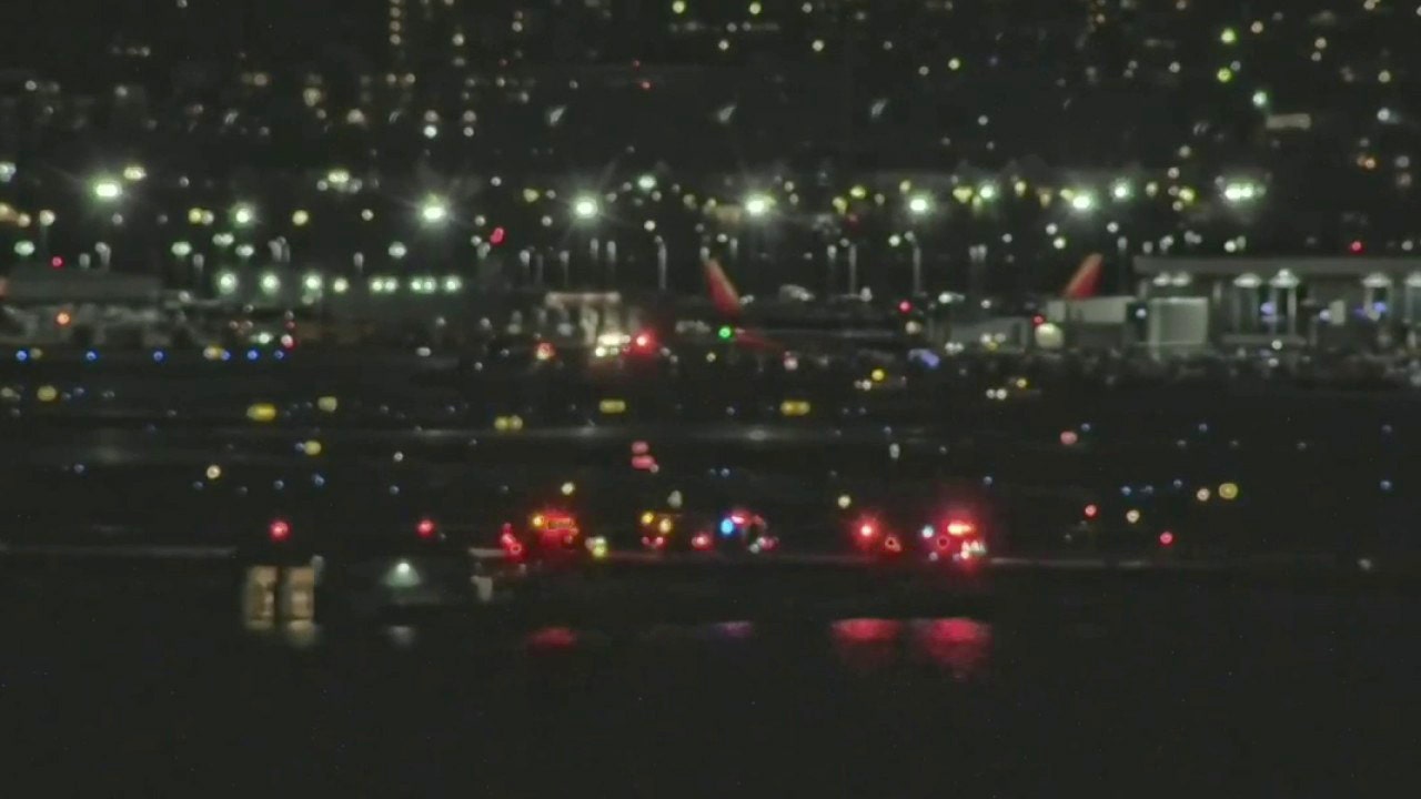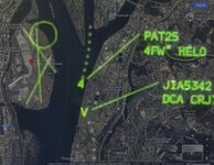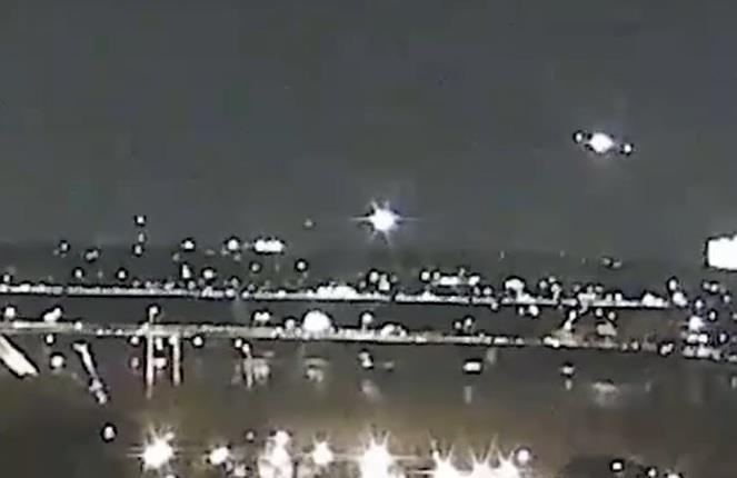
Reagan National Airport crash: Military Black Hawk helicopter collides midair with American Airlines jet
An Army Black Hawk helicopter collided midair with an American Airlines flight from Wichita, Kansas, at Reagan National Airport on Wednesday.
Follow along with the video below to see how to install our site as a web app on your home screen.
Note: This feature may not be available in some browsers.

I think the key mistake is in not commanding the helicopter to turn immediate left when it was clear from the radar trace circulating that the two were on a direct collision course. The minimal supposed elevation difference was way too small for both aircraft. Hence the pass behind command. Now maybe the army boys don't like being told to do things, but if not they need to.From recordings and data supplied to date, ATC failed multiple times.
1. ATC supv allowed One person to leave early, so one person was handling planes plus helo's. And there was a line of planes to keep separated.
2. ATC Radar would have shown helo at 400 feet elevation, or double the ceiling height of 200'. Thus ATC should have directed helo to correct their altitude rather than allowing them visual control. But being short handed meant perhaps radar altitude not verified?
3. ATC did not specific which CRJ the helo was supposed to fly behind. Landing or taking off.
4. An experienced helo pilot should be able to judge 200' vs 400' altitude.
5. Bad decision if night vision employeed in that environment.
6. ATC diverted CRJ at last minute, and saw collision path per audio but gave poor guidance to helo.


On training flights?They're flying VIPs.

If radar refresh rate is 4-5 seconds, then helicopter may have been at 200' at last tower non-cooperative radar refresh, then climbed 100-150 feet into target before next refresh? Thus disparity between data sources. Apparently 325' plus or minus was based upon plane black box. It sounds like tower radar and blackbox on CRJ agree on plane altitude?
Collision inquiry still ascertaining altitude of impact between CRJ and Black Hawk
US investigators are still trying to determine precisely the altitude at which the Washington mid-air collision occurred, although early indications put the PSA Airlines CRJ700 at 325ft at the time it was struck by a Sikorsky Black Hawk helicopter. This figure, drawn from the aircraft's...www.flightglobal.com
NTSB indicates that the altitudes are preliminary, they expect to tighten up the altitude data in the next few days.February 1, 2025: NTSB briefs the media on the investigation of the January 29 mid-air collision involving a PSA Airlines Bombardier CRJ700 airplane and a Sikorsky H-60 military helicopter near Ronald Reagan Washington National Airport.
Waross,.they're going to be flying VIP's. These pilots typically are not fresh out of the academy. The unusual part here is that the pilot took a 2 year hiatus from flying to apparently participate in the Biden admin. That explains the delay in identification, they needed time to scrub her presence from social media.
Tug,,Considering the rate of ascent, is it possible that wake turbulence from the prior aircraft lifted the helicopter into the path of the incident aircraft? It seems like both would be affected but maybe a helicopter is more sensitive to the uplift?
If you back to post 5 and 8 you'll see that the reported altitude is in hundreds of feet and seems to flick between 2 and 3 for the helicopter. Accuracy of instruments using air pressure are rarely accurate enough for something like this.If radar refresh rate is 4-5 seconds, then helicopter may have been at 200' at last tower non-cooperative radar refresh, then climbed 100-150 feet into target before next refresh? Thus disparity between data sources. Apparently 325' plus or minus was based upon plane black box. It sounds like tower radar and blackbox on CRJ agree on plane altitude?
The non-cooperative ATC Surveillance Radar is not using air pressure to determine altitude of helo. This radar would have shown both the CRJ and the helo. NTSB said they felt good about the plane sensor data and other data (likely tower survellance radar, if equipped, or GPS or other data) as far as CRJ. However there is no transponder for the secondary ATC co-operative radar beacon to receive data from the helo, thus they only have the surveillance radar data at this point and that data could be 4-5 seconds old, therefore not reflective of collision altitude of helo.If you back to post 5 and 8 you'll see that the reported altitude is in hundreds of feet and seems to flick between 2 and 3 for the helicopter. Accuracy of instruments using air pressure are rarely accurate enough for something like this.
The non-cooperative ATC Surveillance Radar is not using air pressure to determine altitude of helo. This radar would have shown both the CRJ and the helo. NTSB said they felt good about the plane sensor data and other data (likely tower survellance radar) as far as CRJ. However there is no beacon for the secondary ATC co-operative radar to receive data from the helo, thus they only have the surveillance radar data at this point and that data could be 4-5 seconds old, therefore not reflective of collision altitude of helo.
